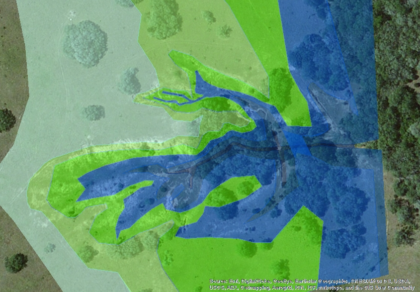
All Out Ranch Improvements
  • Home
  • Ranch Services
    • Ranch Management
    • Habitat Restoration
    • Construction
    • Custom Tractor Work
  • Wildlife Services
    • Consulting & Management
    • Land & Habitat Development
    • Tax Exemptions & Permits
    • Census Counts
    • GIS Mapping
  • Gallery
    • Recent Projects
  • About Us
  • Contact Us
    • Career Opportunities
    • Contact Us
  • Reviews
Call Now


​GIS Mapping

GIS Mapping

A geographic information system, or GIS, is a computerized data management system used to capture, store, manage, retrieve, analyze, and display spatial information.  We are experienced in utilizing GIS and Global Positioning Satellite (GPS) systems to collect, analyze and map our clients’ project data.

Our services include:
  • GIS Graphics and Data Analysis
  • Satellite Imagery Analysis and Data Extraction
  • GPS Surveys and Field Data Acquisition
Picture
All Out Ranch Improvements

Promote Your Page Too

Company


About Us
Contact Us

Services

Ranch Services 
Wildlife Services
Habitat Restoration
Land Clearing
Forestry Mulching
Custom Tractor Work
Building Roads/Pads

Welding
Fencing
Copyright © 2013 | Hallettsville, TX                 
                                   361.772.7901 | Info@alloutranchimprovements.com
Photo used under Creative Commons from anokarina
  • Home
  • Ranch Services
    • Ranch Management
    • Habitat Restoration
    • Construction
    • Custom Tractor Work
  • Wildlife Services
    • Consulting & Management
    • Land & Habitat Development
    • Tax Exemptions & Permits
    • Census Counts
    • GIS Mapping
  • Gallery
    • Recent Projects
  • About Us
  • Contact Us
    • Career Opportunities
    • Contact Us
  • Reviews